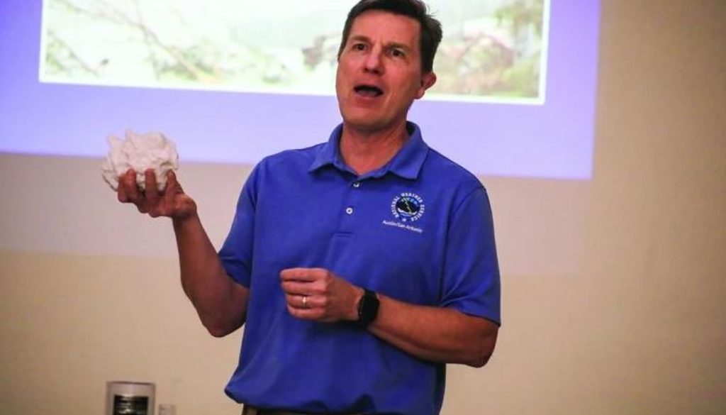
With a network of over 350,000 volunteers spanning across the nation reporting severe weather features, the National Weather Service uses its SKYWARN program to obtain critical and accurate weather reports to mitigate damage.
Texas experiences a variety of severe and damaging weather events year-round. From flooding, hurricanes and hail in storm seasons to wildfires that span thousands of acres–Texans across the state deal with the consequences of natural disaster.
To help aid the NWS in severe storms, interested volunteers attend training centered around identifying the precursors to damaging weather and how to deliver efficient reports.
“It takes a large community to do this – it really does. It’s not just about the storm spotter, it’s not about a meteorologist. It’s everybody working together to spread the news of significant weather coming and then telling everybody so we’re aware of danger,” said Paul Yura, Warning Coordination Meteorologist for NWS Austin/San Antonio.
Yura provides SKYWARN training in the Austin/San Antonio areas to educate about storms and increase the NWS accuracy when issuing alerts and reporting severe weather.
“Say we’re at our office watching a radar and see a storm approaching Kerrville, and the estimates on radar show that we should be getting dime-size hail. Since it’s just reading as a big thunderstorm with small hail, it doesn’t hit our criteria to issue a warning,” said Yura.
When determining between sending out weather warnings, watches, and emergencies, the NWS uses reports from SKYWARN trained “spotters” for more precise information.
“Assume we have two spotters that call and say Kerrville is getting quarter-size hail. That happens to meet our criteria and we will issue a warning. Just your phone call – your intel that you’re giving us – will then allow us to push out a warning to everyone,” said Yura.
Yura’s training covered how to accurately measure hail stones, identify severe storm features and their lookalikes, as well as how to describe the severity of a variety of storms.
“There’s a good way of reporting hail and a bad way. When reporting hail using photos, many people put the hail in their hand and take a picture of it, but we don’t know if they have a small hand or a big hand,” said Yura.
To make a more accurate and useful report, Yura recommends including another object in the photo as a size reference.
“A good way is where you take a picture of the hailstones with a reference object in it, like a ruler, measuring tape, coin, golf ball, baseball, softball, etc. Those objects all have known measurements,” said Yura.
Knowing how to document hailstone size isn’t only beneficial to the NWS, but the images can be useful when filing claims to insurance agencies.
“Ice evaporates, even in the freezer. So if you truly want to protect your hailstones, like for evidence for the insurance company, after it stops hailing, run outside, grab the largest hailstones, and then put them in a Ziploc bag in the freezer,” said Yura.
Hosted in collaboration with the NWS and Kerr County, the SKYWARN event saw a room packed with locals interested in public service gain their Storm Spotter training. For more information about SKYWARN and how to get trained as a Storm Spotter, visit www.weather.gov/ewx/skywarn.
